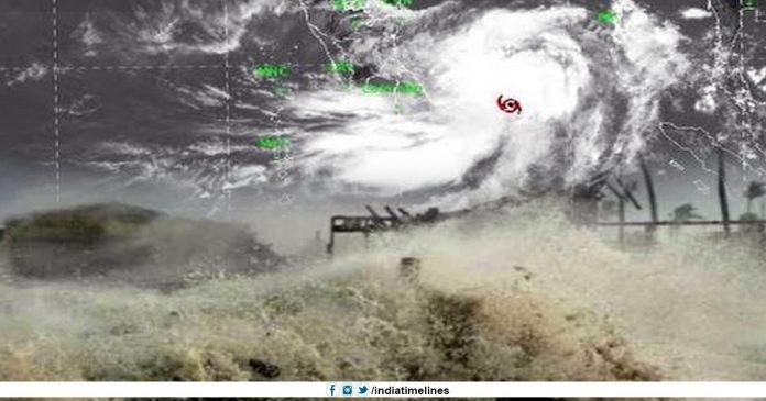
Cyclone Fani to Turn Into Extremely Severe Storm: India’s Meteorological Department (IMD) is expected to develop cyclone Fani and develop as a terrible cyclonic storm and move towards north-west by May 1, on Sunday in Tamil Nadu, Andhra Pradesh, and Odisha. Warning to the coastal areas, he said that very fast winds, heavy rains, and rugged sea. This storm is currently concentrated in the Bay of Bengal and its adjoining areas of less than 1,000 km in and around Chennai. It can generate wind speeds of 50-60 kmph in the coastal areas of Tamil Nadu and Andhra Pradesh.
Cyclone Fani to Turn Into Extremely Severe Storm
“The cyclonic storm ‘Fani’, is located on the 880 km southeast of Chennai, till Monday morning. The IMD said in a statement that cyclonic storm is expected to accelerate by April 30. This storm will continue towards the northwest and change its way from May 1 to the northeast. Cyclone said that the cyclone is likely to arrive on May 1 and 2 when the wind speed at its center can be 185 kilometers per hour. An IMD official told that “Since the nearest Indian coast in the Northern Andhra Pradesh or southern Odisha is likely to be at least 300 km, the wind speed in the coastal areas is likely to be around 60 km per hour. “
NDRF and Indian Coast Guard have been placed on high alert and kept in the disposal of concerned State Governments. Fishermen said that a regular warning has been issued since April 25 that the fishermen should not go to sea and ask those who live in the sea to return to the coast.
According to the India Meteorological Department (IMD), land decontamination is denied in Tamil Nadu and Andhra Pradesh. However, the possibility of landslides in Odisha is constantly under monitoring.
Tamil Nadu, Andhra and Odisha Brace for Impact, Cyclone Fani to Turn Into Extremely Severe Storm
India Prime Minister Narendra Modi himself is closely auditing the Condition and Modi has instructed the Cabinet Secretary to convene a meeting of the National Crisis Management Committee (NCMC) to take stock of the situation with the State Governments and Union Ministries / Agencies. To prepare all the preparations to deal with any situation, the IMD said.
The Meteorological/ Weather Department has predicted heavy rains at several places and heavy rains at different places in Kerala on April 29 and April 30. It has predicted lightly moderate rainfall at some places in the North coastal Tamilnadu and south coastal Andhra Pradesh and in some places in the south. In the next two days, coastal Odisha is likely to grow in the coastal Odisha from May 3.
IMD’s prediction, the state of the oceans will get cramped from the shores of Puducherry, Tamilnadu and South Andhra Pradesh from April 29 to May 1. Fishermen have been advised not to go to the deep areas of the sea for the next few days. For the latest updates, you can visit www.indiatimelines.com.
The Meteorological/weather Department also said that the terrain is such that the system will not be able to escape from the coastal areas. Initially, Tamil Nadu needs to stay alert, because of some high-intensity winds, moderate rains with some intense rainfall.
Fishermen have been advised not to venture into the sea during these days, while the locals have been advised to avoid night travel where there is a possibility of landslides.


